Our Terms & Conditions | Our Privacy Policy
Amid a recent spike in seismic activity, scientists are deploying new monitoring equipment at Mount Adams, a stratovolcano located in south-central Washington. According to the U.S. Geological Survey (USGS), this region usually witnesses an earthquake every two to three years. However, in September 2024 alone, six earthquakes were recorded, marking the highest number in a single month since monitoring began in 1982.
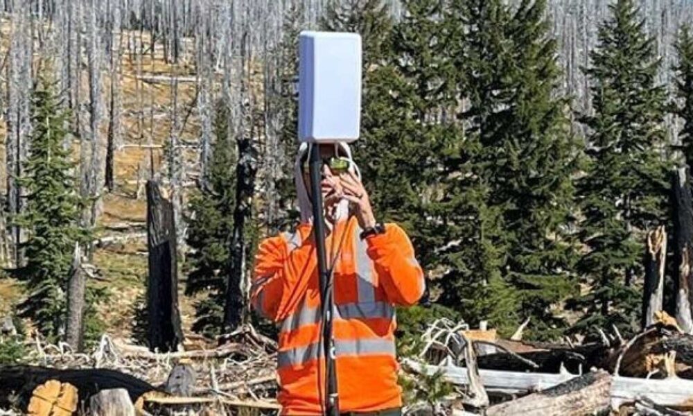
These earthquakes have been monitored by the USGS Cascades Volcano Observatory (CVO) and the Pacific Northwest Seismic Network (PNSN), with magnitudes ranging from 0.9 to 2.0. None of the quakes were felt on the surface. Currently, Mount Adams is observed with just one permanent seismic station, limiting monitoring capabilities. As a result, temporary seismic stations are being installed to enhance detection and provide better estimates of the size, location, and depth of seismic events.
Jon Major, Scientist-in-Charge at the USGS Cascades Volcano Observatory, commented on the current situation. “Right now, there’s only one monitor within about six-and-a-half miles of the volcano,” Major noted. “With only one monitor, it’s very hard to do really good locations. It’s really difficult to get the accurate depth of the earthquakes.” He further mentioned, “At the current time, there’s no cause for concern. We’re keeping what we call our alert-level status at ‘normal.’ There’s a good chance this is just background activity.”
Mount Adams, the second highest peak in Washington state, is known for being the largest active volcano by volume and area in the state. Despite these recent events, the USGS states that there is no indication of an impending eruption, and the volcano’s alert level remains at Green and Normal. The site is part of a broader volcanic field that includes over 120 smaller volcanos, with Mount Adams being the most prominent summit.
Historically, Mount Adams has not been known for explosive volcanic activity. The last eruption occurred between 3,800 and 7,600 years ago. Nonetheless, lahars, or swift flows of rock, ash, and ice, remain a potential threat due to the summit’s ice cap, which covers weak hydrothermal rock. These lahars could be triggered by landslides.
Images are for reference only.Images and contents gathered automatic from google or 3rd party sources.All rights on the images and contents are with their legal original owners.
Aggregated From –
Comments are closed.