Our Terms & Conditions | Our Privacy Policy
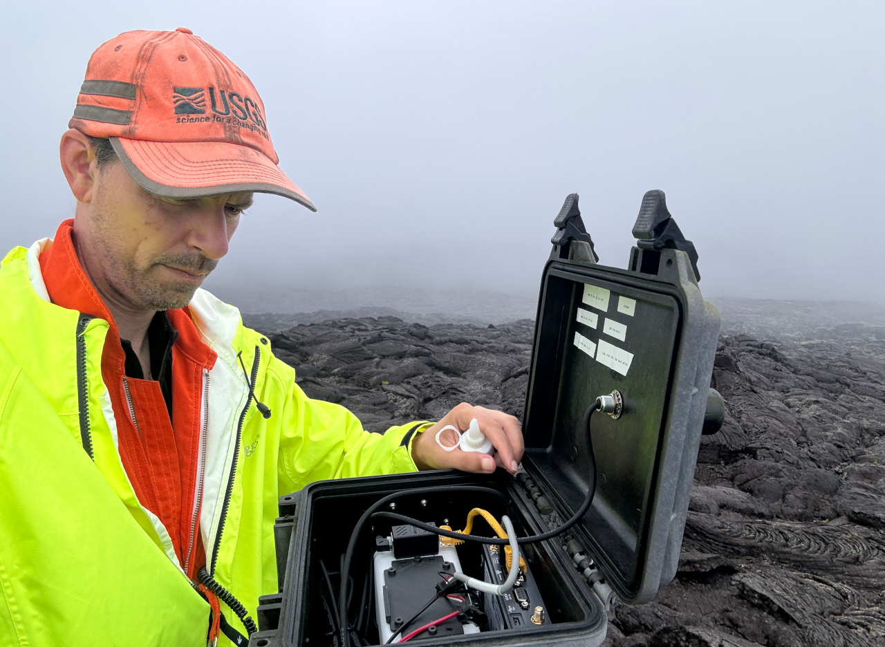
(3) USGS: “A USGS Hawaiian Volcano Observatory geologist inspects the R3cam webcam enclosure, which had a small amount of water accumulation in recent months that obscured the image. This area of the volcano experiences very high rainfall. Drying out the enclosure and adding fresh desiccant should keep the camera views clear in the future.” (USGS photo by M. Patrick)
(BIVN) – Scientists conducted routine maintenance on a webcam on the East Rift Zone of Kīlauea on Wednesday, where a recent interferogram shows magma continues to accumulate underground.
Kīlauea is not erupting, and the USGS Volcano Alert Level remains at ADVISORY.
The five-day eruption near Nāpau Crater on the middle East Rift Zone (MERZ) ended on September 20th. However, unrest continues at low levels in the region. Data shows that magma is continuing to move at a low rate from the summit to the MERZ.

(2) USGS: “This photo looks west along the south rim of Pu‘u‘ō‘ō. Red ash from the collapses during 2018 fills depressions in the lava flows, allowing moss and small ferns to grow. Green vegetation such as this was not observed by geologists near the rim during the 1983-2018 eruption, presumably due to high gas concentrations.” (USGS photo by M. Patrick)
The USGS Hawaiian Volcano Observatory has a webcam, the R3cam, located on the east flank of Pu‘u‘ō‘ō, where lava erupted for decades until the vent collapsed in 2018. The R3cam monitors areas downrift of Pu‘u‘ō‘ō.
“Given the recent eruptive activity in nearby Nāpau crater, this webcam is essential for detecting any changes that could occur in the area during future unrest,” the USGS wrote in a photo caption.
HVO says all recent activity was confined to the MERZ between Makaopuhi Crater and Puʻuʻōʻō and there are no indications of any changes downrift in the lower East Rift Zone.

(4) USGS: “A view into Puʻu‘ō‘ō’s crater from the south rim. The white layers represent numerous lava flows and spatter-fed flows formed during periods of high fountaining in the 1980s. The crater floor collapsed in 2018, and dropped by more than 300 meters (yards). Subsequent collapses have filled the deepest part of the crater.” (USGS photo by M. Patrick)
Images are for reference only.Images and contents gathered automatic from google or 3rd party sources.All rights on the images and contents are with their legal original owners.
Aggregated From –
Comments are closed.