Our Terms & Conditions | Our Privacy Policy
alberta snowfall warning: Cochrane and Southern Alberta brace for Easter snowfall; travel warnings issued
Cochrane and southern Alberta will receive heavy snowfall on Easter Sunday (April 20, 2025). A warning to the effect has been issued with Calgary also forecast to see a mix of rain and snow starting Sunday night which will continue till Monday.
The incoming system is expected to ramp up overnight Sunday, potentially leading to difficult travel conditions and reduced visibility, with areas west and northwest of Calgary anticipated to receive the highest snowfall amounts.
Environment Canada indicates that while Calgary could see 5-10 cm of snow, snowfall totals will vary, and a warming trend is expected to follow, with temperatures climbing steadily throughout the week.
Cold air and ample moisture are moving into southern Alberta, leading to a disruptive round of snow. Widespread snowfall warnings are in effect as this event gets underway through the overnight hours.
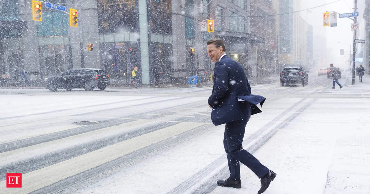
Calgarians can anticipate a brief blast of winter. The city is expected to experience a mix of rain and snow Sunday night and into Monday.

Live Events
Temperatures in Calgary were sitting at around 2 degree C early Sunday afternoon, and are expected to drop to a low of zero overnight.As of late Sunday morning, Calgary was already seeing early signs of the incoming systems, with scattered rain showers and flurries reported in parts of the city. Areas northwest of Calgary are likely to see the highest snowfall, according to Environment Canada.The national weather authority is warning drivers of reduced visibility and difficult travel conditions due to accumulating snow.
The system is expected to ramp up overnight Sunday, and more widespread precipitation is expected from the Hinton, Alta. region down towards the southeast corner of Alberta near the Saskatchewan border.
Snowfall is expected to taper off as the system exits Alberta overnight Monday night into Tuesday.
Spring snowfalls on the western Prairies come with substantially higher uncertainty due to the convective nature of the systems and marginal temperatures to support accumulating snow at lower elevations.
An area of low pressure stalling out over central Alberta will give rise to locally heavy snowfall heading into the overnight hours. Expect bursts of wet snow across Calgary as the trough lifts through the area, eventually stalling north of the city by Monday morning.
Snow will gradually lift north of Calgary and stall south of Red Deer, creating a heightened risk for heavy wet snowfall across portions of central Alberta. The wet snow could weigh down branches and power lines, potentially leading to localized power outages.
[ad_1]
Images are for reference only.Images and contents gathered automatic from google or 3rd party sources.All rights on the images and contents are with their legal original owners.
Aggregated From –
[ad_2]
Comments are closed.