Our Terms & Conditions | Our Privacy Policy
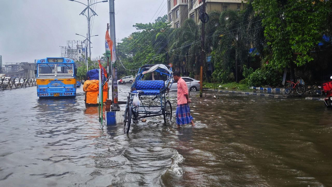
Cyclonic circulations over the Bay of Bengal and Tamil Nadu coast, coupled with an east-west trough, are likely to trigger widespread rain across South India. (Representational Image Source: Pexels)
India Meteorological Department (IMD) has forecast a prolonged spell of heavy to very heavy rainfall over Northeast India and adjoining parts of East India in the coming days, with extremely heavy showers likely at isolated places in Arunachal Pradesh. A fresh spell of intense rainfall is also expected to affect Himachal Pradesh, Uttarakhand, and Uttar Pradesh soon. Meanwhile, subdued rainfall activity is likely over Central India and Rajasthan. Several regions, including Tripura, Assam, Tamil Nadu, and parts of North and South India, have already witnessed heavy to extremely heavy rainfall, as multiple weather systems continue to influence the monsoon pattern across the country.
Here is the latest region-wise weather forecast for the coming days.
Heavy Showers Predicted in Northeast India
A combination of a monsoon trough near the Himalayan foothills and a cyclonic circulation over northeast Assam is bringing active rainfall to the Northeast region. IMD has issued alerts for very heavy to extremely heavy rainfall over Arunachal Pradesh and adjoining areas.
|
State/Region |
Rainfall Type |
Dates |
|
Arunachal Pradesh |
Extremely heavy (≥21 cm) |
August 8 |
|
Assam & Meghalaya |
Very heavy rainfall |
Aug 8, 12, 13 |
|
Nagaland, Manipur, Mizoram, Tripura |
Heavy to very heavy rainfall |
Aug 8 |
|
All NE States |
Light to moderate rain with thunderstorms |
Aug 8–13 |
These conditions could potentially cause localized flooding, waterlogging, and disruption in low-lying areas.
Uttarakhand, Himachal, and UP Brace for Heavy Rain
A Western Disturbance over North Punjab and monsoon trough anomalies are expected to trigger significant rainfall activity across parts of North and Northwest India. Very heavy rainfall is especially likely over Uttarakhand, Himachal Pradesh, and East Uttar Pradesh towards the weekend.
|
Region |
Rainfall Intensity |
Dates |
|
Uttarakhand, Himachal Pradesh |
Heavy to very heavy rainfall |
Aug 10–13 |
|
Uttar Pradesh |
Heavy rainfall |
Aug 8, 11–13 |
|
Jammu & Kashmir |
Heavy rainfall |
August 13 |
|
Haryana |
Isolated heavy rainfall |
August 11 |
Thunderstorms and lightning will accompany rain across the Western Himalayan region, with scattered showers expected in the northern plains.
Peninsular India to Witness Strong Winds and Showers
Cyclonic circulations over the Bay of Bengal and Tamil Nadu coast, coupled with an east-west trough, are likely to trigger widespread rain across South India. Some parts of Tamil Nadu may even receive very heavy rainfall on August 8. Strong winds between 40–50 kmph are also expected over the southern states.
|
Region |
Rainfall Intensity |
Dates |
|
Tamil Nadu |
Heavy to very heavy rainfall |
Aug 8–9 (very heavy on 8th) |
|
Telangana, Rayalaseema |
Isolated heavy rainfall |
Aug 8–9 |
|
Kerala, Coastal Andhra Pradesh |
Isolated heavy rainfall |
Aug 8 |
|
All South India |
Light to moderate rainfall with thunder |
Aug 8–11 |
Farmers and coastal communities should be cautious due to strong winds and slippery roads.
Bihar, Odisha and Bengal to Receive Moderate to Heavy Rains
Due to active monsoon dynamics, parts of East and Central India are also set to receive steady rainfall throughout the week. Bihar and Sub-Himalayan West Bengal are on alert for very heavy rainfall on specific dates.
|
Region |
Rainfall Type |
Dates |
|
Bihar |
Heavy to very heavy rainfall |
Aug 8, 12–13 |
|
Odisha |
Heavy rainfall |
Aug 8–9 |
|
Sub-Himalayan West Bengal & Sikkim |
Very heavy rainfall |
Aug 8, 11 |
|
Jharkhand, Chhattisgarh |
Heavy rainfall |
Aug 8 (Jharkhand), 11–13 (Chhattisgarh) |
|
Andaman & Nicobar Islands |
Heavy rainfall |
August 11 |
This could bring relief from heat but may also increase flood risk in low-lying districts.
Scattered Showers Over Maharashtra and Goa
Western India, including parts of Maharashtra and Goa, will see moderate rainfall over the coming days. Some regions like Konkan and Marathwada may experience heavy spells.
|
Region |
Rainfall Type |
Dates |
|
Konkan & Goa |
Heavy rainfall |
Aug 8, 12, 13 |
|
Marathwada |
Heavy rainfall |
Aug 8 |
|
Madhya Maharashtra |
Moderate rainfall |
Aug 8 |
Though not as intense as in the north or northeast, these showers may bring relief from humidity and heat.
Delhi NCR Weather Outlook: Light Rain, Warm Days Ahead
Despite the nationwide monsoon activity, Delhi NCR will largely remain dry with only light rain or drizzles expected during the evenings. However, temperatures are expected to remain above normal until the weekend, adding to the discomfort.
|
Date |
Sky Condition |
Temperature (°C) |
Rain Possibility |
Wind Direction & Speed |
|
Aug 8 |
Partly Cloudy |
Max: 36–38, Min: 24–26 |
Light rain/thundershower |
NW, 10–15 kmph (AM), S 5–10 (PM) |
|
Aug 9 |
Partly Cloudy |
Max: 32–34, Min: 24–26 |
Light rain/thundershower |
SW, 5–10 kmph |
|
Aug 10 |
Partly Cloudy |
Max: 33–35, Min: 23–25 |
Light rain/thundershower |
NE, 5–15 kmph |
Humidity levels will remain high, especially during the day. Residents are advised to stay hydrated and avoid prolonged outdoor exposure during peak hours.
IMD advises residents, especially in regions expecting heavy to very heavy rainfall, to stay alert for potential waterlogging, flash floods, and landslides. People living in low-lying and flood-prone areas are urged to take necessary precautions. Travelers should check local weather updates before planning outdoor activities. Farmers are advised to take protective measures for their crops and avoid fieldwork during intense rainfall or lightning. Stay tuned to official IMD updates and follow local administration advisories for safety.
First published on: 07 Aug 2025, 12:18 IST
Images are for reference only.Images and contents gathered automatic from google or 3rd party sources.All rights on the images and contents are with their legal original owners.
Aggregated From –
Comments are closed.