Our Terms & Conditions | Our Privacy Policy
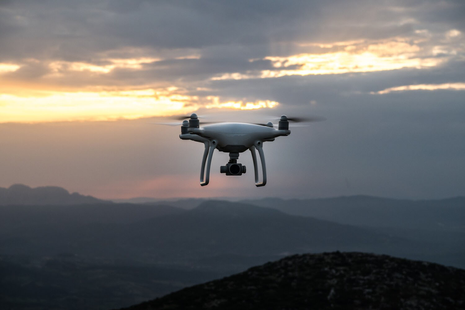
Uncrewed aerial systems (UAS) enable research that is currently beyond the reach of traditional aircraft and other methods. These play a crucial role in supporting cutting-edge science, while contributing to reduced carbon emissions.
To support UK Research and Innovation’s strategy to achieve net zero by 2040, the Natural Environment Research Council (NERC) commissioned the UK’s environmental science centres to review the UAS landscape.
Recommendations on how best to invest in and support environmental science research using these technologies are published in the report: net zero aerial capability (NZArC) scoping report: a review of the role of UAS in the decarbonisation strategy of NERC aerial activities (PDF, 7MB).
Review methodology
The report is co-authored by experts from eight NERC centres and collaborating institutes:
- British Antarctic Survey (BAS)
- British Geological Survey (BGS)
- National Oceanographic Centre (NOC)
- National Centre for Earth Observations (NCEO)
- National Centre for Atmospheric Science (NCAS)
- UK Centre for Ecology & Hydrology (UKCEH)
- Scottish Association for Marine Science (SAMS)
- Plymouth Marine Laboratory (PML)
Recommendations have been developed collaboratively through several NERC-funded workshops and an analysis of case studies provided by the research community, demonstrating the existing and desired use for UAS in environmental science.
The purpose of requesting community-led case studies was to identify clear barriers and therefore viable opportunities for growing the use of UAS.
Outputs and recommendations
The report:
- assesses the current use of UAS in environmental research
- identifies existing gaps
- outlines a strategic vision for the future
Key recommendations include:
- overcoming regulatory hurdles
- building capacity
- fostering technology development
- ensuring data integrity
- enhancing data accessibility
NERC acknowledges the comprehensive set of recommendations outlined in the report, recognising the input and efforts of the authors and wider research community who contributed to this work.
NERC looks forward to continuing to work with the report’s Steering Committee to ensure a coordinated approach to delivering impact from the report.
The published report is hosted on the BAS website and includes wider recommendations to the research community, as well as NERC, its research centres and collaborating institutes.
A collaborative effort
Dr Beatrix Schlarb-Ridley, Director of Innovation and Impact at BAS and Chair of the report’s Steering Committee said:
This report was made possible through the active involvement of NERC Centres and collaborating institutes.
The Steering Committee thanks NERC for commissioning the report, and the many research community members who participated in the in-person and online workshops which shaped the report, particularly those who contributed directly by providing report sections, case studies, and feedback.
This process has helped build a strong community of practice and continued collaboration will be at the heart of addressing the report’s recommendations.
We look forward to the contribution this will make to conducting excellent, impactful environmental science, with a reduced carbon footprint.
A comprehensive roadmap
Dr Iain Williams, NERC Director of Strategic Partnerships, said:
I’m hugely grateful to all those who were involved in contributing to this report.
It offers a valuable and comprehensive roadmap for advancing the use and capabilities of UAS to support new insights across the environmental sciences and doing so in a way to reduce the carbon emissions in field research.
The report contains some important recommendations and fascinating case studies on the use of UAS in a wide range of environmental science applications.
I’m looking forward to seeing the outputs from the two projects linked to this programme and how they may develop new approaches to environmental mapping.
Further information
Funded UAS projects
Linked to this scoping study, NERC has recently funded two projects that will begin delivering on some of the key recommendations of the report.
These projects are as follows:
Net zero aerial capability for geophysical sensing (NZArC GeoSen)
Led by Luke Bateson, BGS
This project, delivered in collaboration with BAS, will establish the capability to characterise the shallow subsurface through geophysical data collected by UAS will provide valuable insights into geological structures, hydrogeological processes, and the impact of climate change.
By developing two complementary capabilities, the project will enable high-resolution, low-cost data collection. The two complementary capabilities are:
- for local 3D subsurface imaging in the UK using time-domain electromagnetics
- for large-scale ice thickness measurements in Antarctica using ice-penetrating radar
Current geophysical sensing technology relies on larger aircraft or ground vehicles, which aren’t suited for low-carbon, drone-based systems.
NZArC GeoSen aims to change that by developing new technology that works with UAS, helping to reduce carbon emissions.
Testing in Antarctica, where rules for flying drones are more flexible, will help create procedures that could eventually lead to changes in UK regulations.
A remotely piloted aerial Green LiDAR for mapping bathymetry of shallow waters and elevation of boundary land
Led by Aser Mata, PML
This project is delivered in collaboration with BGS, NOC, SAMS and UKCEH and aims to revolutionise how underwater environments, particularly shallow waters like river sections and coastal areas, are mapped.
Mapping of shallow waters is vital for studying blue carbon habitats such as mangroves, seagrasses, and tidal marshes as these are some of the most efficient natural carbon sinks on Earth.
These habitats store and sequester carbon at rates far exceeding tropical forests but mapping their underwater terrain (bathymetry) and estimating carbon storage has been a major challenge.
The project will use a novel sensor, designed for both topographic and bathymetric surveys, for mapping underwater environments that are hard to reach, and this will be mounted on a low carbon UAS platform.
This research will have reduced carbon footprint compared to if delivered via a traditional aircraft so will enable faster, more accurate data collection with less environmental impact.
Top image: Credit: Unsplash
Images are for reference only.Images and contents gathered automatic from google or 3rd party sources.All rights on the images and contents are with their legal original owners.
Aggregated From –
Comments are closed.