Our Terms & Conditions | Our Privacy Policy
DES MOINES, Iowa — A team of atmospheric scientists are launching a new research campaign from Des Moines this week. The Convective Gravity Waves in the Stratosphere (CGWaveS) Project is aiming to gain a better understanding of these atmospheric ripples and their influences in our atmosphere.
Gravity waves in the atmosphere are very different from gravity waves created by large stellar objects like black holes.
In this case, gravity waves are waves in the atmosphere created by air flowing over or around things like mountains and in some cases, thunderstorms.
These waves can occasionally be seen from radar and satellite by seeing their effects on clouds. You can think of it like ripples in a pond after a rock was thrown into it. The atmosphere, just like water, acts like a fluid, and when something disturbs it we can see ripples in air.
As these waves move away from the disturbance, they can have effects on weather hundreds of miles away, but to what extent?
Well, that’s what the CGWaveS project is hoping to find out and more specifically, gravity waves created by thunderstorms.
We’re going to be trying to look at the gravity waves in the stratosphere. The stratosphere is very, very thin and completely dry. Of course, you know, the stratosphere is part of the weather, and it’s part of the climate. So, the stratosphere does have a feedback on the Earth’s weather,” David S. Nolan, Ph.D. Co-Principal Investigator and professor for the Department of Atmospheric Sciences, Rosenstiel School of Marine, Atmospheric, and Earth Sciences at the University of Miami, said.
The waves can be seen by satellite images, but they’re basically two-dimensional. It’s a flat map. We’re going to be flying under the waves with the LiDAR pointing up. So, we’re going to be like slicing through the waves. So, we’re hoping to see the actual structure of the waves with height as well as like along the track of the plane.”
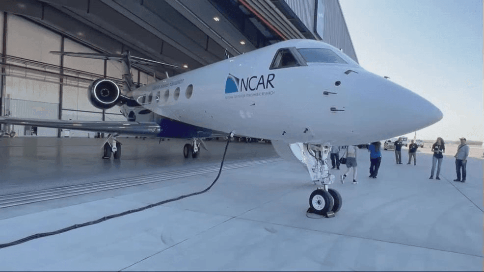
The project itself will be taking off from Des Moines over the next month or so on a modified Gulfstream V aircraft equipped with two LiDAR instruments. This is similar to normal radar, but instead of using radio waves, it uses lasers.
It gives users a much higher resolution and the ability to detect things like small temperature variations in the air.
Each time they head out, they’ll be in the air for about eight hours each flight— flying around 41-47 thousand feet, which is about five to 10 thousand feet higher than most commercial passenger jets fly.
The goal, once all the numbers are collected, is to better understand our atmosphere and how these waves interact within it to further improve weather modeling at high altitudes and at the surface.
Images are for reference only.Images and contents gathered automatic from google or 3rd party sources.All rights on the images and contents are with their legal original owners.
Aggregated From –
Comments are closed.