Our Terms & Conditions | Our Privacy Policy
Scientists map Antarctic seafloor canyons to help predict climate breakdown | Climate crisis
Scientists have mapped 332 Antarctic canyon networks to help assess the future course of climate breakdown.
The research, published in the journal Marine Geology, shows in high resolution submarine valleys that can reach down more than 4,000 metres, more than twice the depth of the Grand Canyon in the US.
The resulting data shows that the canyons may have a bigger impact than thought on ocean circulation, ice-shelf thinning and climate change.
The study was carried out by researchers from the Faculty of Earth Sciences at the University of Barcelona, Spain, and the marine geosciences research group at University College Cork, Ireland.
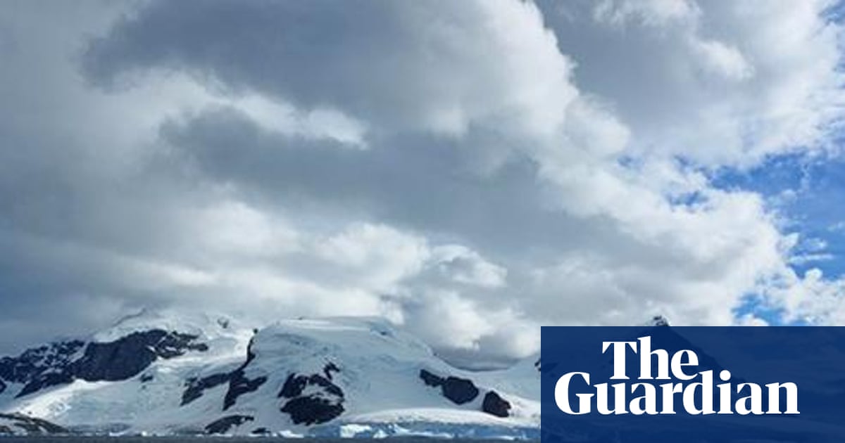
An overview of the Antarctic canyon survey area. The seafloor valleys can be 4,000 metres deep. Illustration: Marine Geology
The Antarctic canyons resemble those elsewhere “but tend to be larger and deeper because of the prolonged action of polar ice and the immense volumes of sediment transported by glaciers to the continental shelf”, said David Amblàs of the research team.
He added: “That’s why we must continue to gather high-resolution bathymetric data in unmapped areas that will surely reveal new canyons, collect observational data … and keep improving our climate models to better represent these processes and increase the reliability of projections on climate change impacts.”
Submarine canyons are carved valleys on the seafloor that play a crucial role in the movement of sediments, nutrients and the creations of biodiverse habitats. Antarctica’s canyons become enlarged because of the turbulent water currents that carry sediments at high speed through them.
Scientists have been able to map in high resolution only 27% of the Earth’s seafloor, uncovering 10,000 submarine canyons worldwide. But most of these canyons remain underexplored, especially in polar regions.
Using data from the International Bathymetric Chart of the Southern Ocean, researchers produced high-resolution maps of 332 Antarctic canyon networks, five times as many as previous studies had managed. The most spectacular of these are in east Antarctica and “characterised by complex, branching canyon systems”, said Amblàs.
skip past newsletter promotion
The planet’s most important stories. Get all the week’s environment news – the good, the bad and the essential
Privacy Notice: Newsletters may contain info about charities, online ads, and content funded by outside parties. For more information see our Privacy Policy. We use Google reCaptcha to protect our website and the Google Privacy Policy and Terms of Service apply.
after newsletter promotion
Maps of the Antarctic submarine canyons are increasingly recognised by scientists as essential for understanding the impact of the climate crisis. The canyons channel warm water from the open sea towards the coastline, thinning the floating ice shelves and contributing to the rise in global sea levels, said Riccardo Arosio, another of the researchers.
Mapping the seafloor and its influence on the movement of water is necessary to build accurate ocean circulation models that can be used to predict the impact of the climate crisis, especially in vulnerable polar regions.
Images are for reference only.Images and contents gathered automatic from google or 3rd party sources.All rights on the images and contents are with their legal original owners.
Aggregated From –
Comments are closed.