Our Terms & Conditions | Our Privacy Policy
Scientists have been able to use satellite imagery to find the warrens of wombats and rabbits in the remote Australian desert.
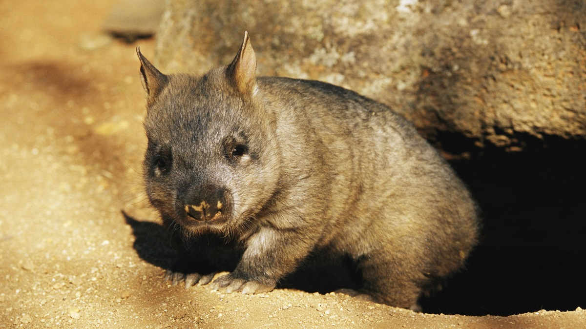
 A juvenile southern hairy-nosed wombat emerging from its burrow. Credit: Jason Edwards / The Image Bank Unreleased / Getty Images Plus.
They argue the test shows that satellite imagery could be a viable alternative to long and arduous ground-based surveys, particularly in harsh desert environments. The research is published in the CSIRO’s peer-reviewed Journal of the Australian Mammal Society.
Assessing the distribution of wild animals, the authors write, “is essential to conservation planning and natural resource management”.
The study focused on 2 burrowing species: the native southern hairy-nosed wombat (Lasiorhinus latifrons) and the introduced European rabbit (Oryctolagus cuniculus).
Their distributions were mapped across South Australia’s Nullarbor Plain.
To test the feasibility of using satellite imagery to spot the wombat and rabbit warrens, the researchers compared the digital results to estimates based on fieldwork.

First, GPS locations of warrens were identified by walking for about 1km at 22 sites perpendicular to 2 100km stretches of road. This was then compared to satellite imagery from Google Earth and Microsoft Bing, both of which have a resolution of less than 1.5m.
 Field survey sites for the southern hairy-nosed wombat and European rabbit warren sampling along two road transects,
Cook (n = 10) and Ooldea (n = 12) Road, that are located along the Nullarbor Plain, South Australia. Photographs by N. McPherson. Credit: N. McPherson et al. in Australian Mammalogy, DOI: 10.1071/AM24017 (CC BY-NC-ND)
They found that 82% of the time, there was agreement between satellite imagery-based observations and the ground-based fieldwork in detecting a wombat warren. However, the methods only had agreement for 49% of the rabbit warrens.
Satellite imagery omitted about 14% of wombat warren sites compared to 44% for rabbits. Of the rabbit sites omitted by satellite imagery, 79% were small – less than 10m in diameter.
While noting that the method is not infallible, the researchers conclude: “The detection of wombat and rabbit warrens from broad-scale satellite imagery is a valid approach in the production of spatially unbiased species distribution datasets and can increase the understanding of species interactions in remote arid and semi-arid landscapes.”

[ad_1]
Images are for reference only.Images and contents gathered automatic from google or 3rd party sources.All rights on the images and contents are with their legal original owners.
Aggregated From –
[ad_2]
Comments are closed.